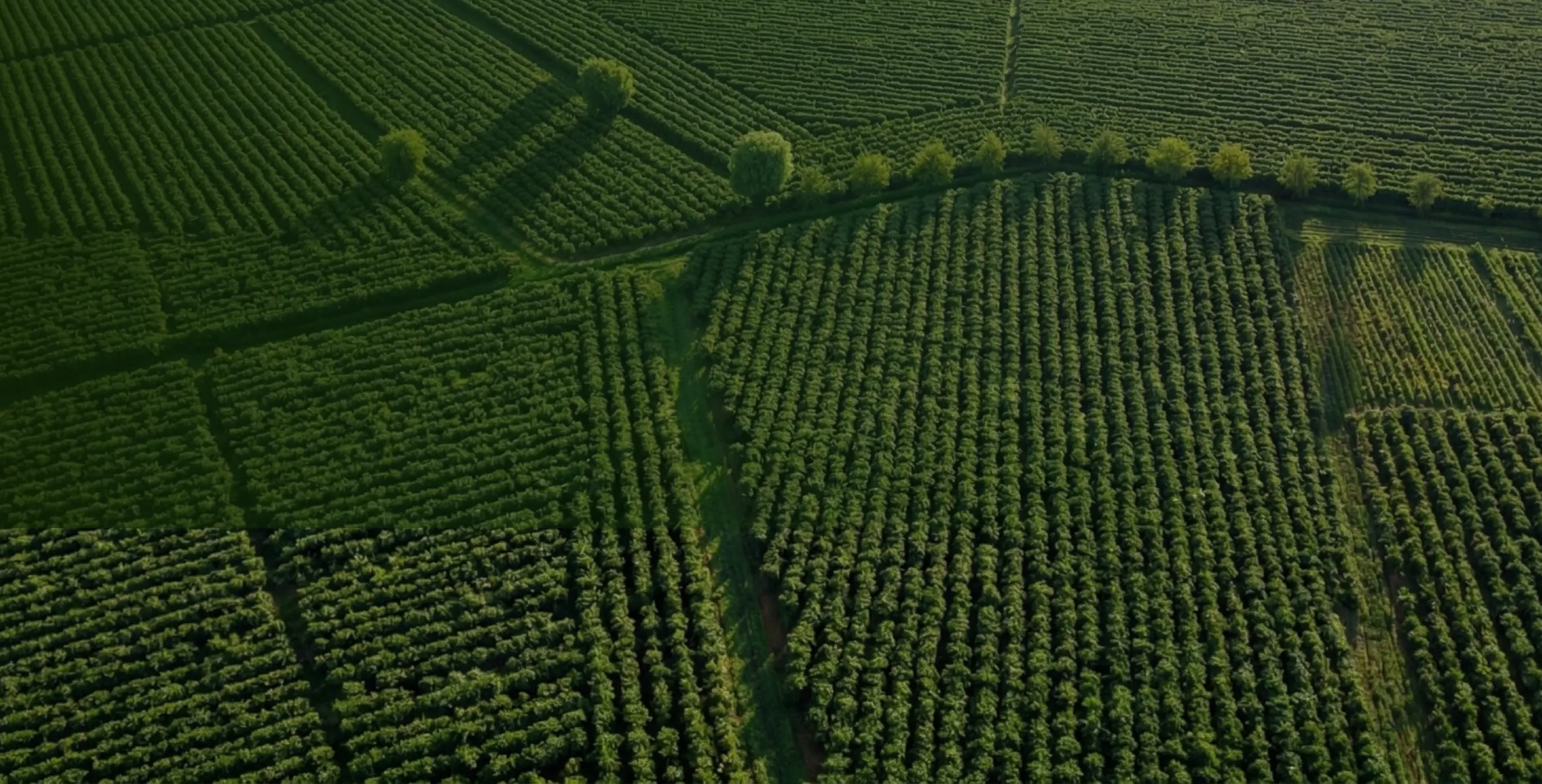
Flight, analysis and reports.
Everything integrated, in one platform.
Flights, analytics and reports integrated so the agronomist is up to 75% more efficient.
Two clicks, ready to fly.
No need to map the field for every mission, no losing history between operations, and no exporting files. Everything is integrated, from planning to execution.
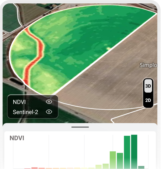
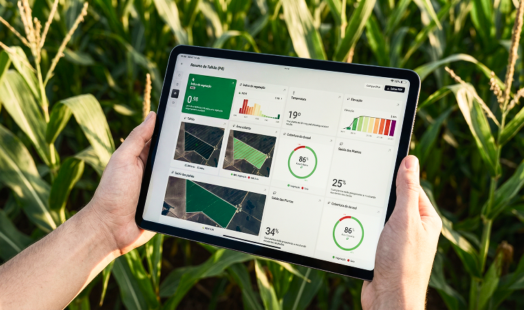
Stop calculating indexes
Run complex analyses in seconds. No GIS, no formulas.
Compare different dates, track crop evolution and know where to act before going to the field.
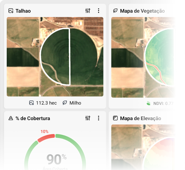
No more hours on reports
Generate complete, digital and interactive reports, updated in real time. Share and comment with clients in the app.
Don't need to install anything. Open it, browse maps and indexes, and make decisions from anywhere.
Don't waste time downloading imagery
Historical satellite imagery in one click. Track crop conditions, identify problem areas, and monitor vegetation changes.
Don't go to the field without being informed. Stay updated on plant health and growth stages with recent satellite imagery. All in one platform.
Every operation has its mission.
A continuous cycle where scouting captures the full picture, localized flights reveal details, and spray applies treatment with precision.
Save up to 3 days, per week.
The work that used to take hours simply disappears. You focus on the field, we automate the operational work.
Without Talyon, the old way
With Talyon, the new way
The workflow is broken.
Every step lives in a different app. Nothing connects.
App switching
Manual work
Late decisions
Delivering results is our main differentiator
Who are our solutions for?
Challenges
Our solution